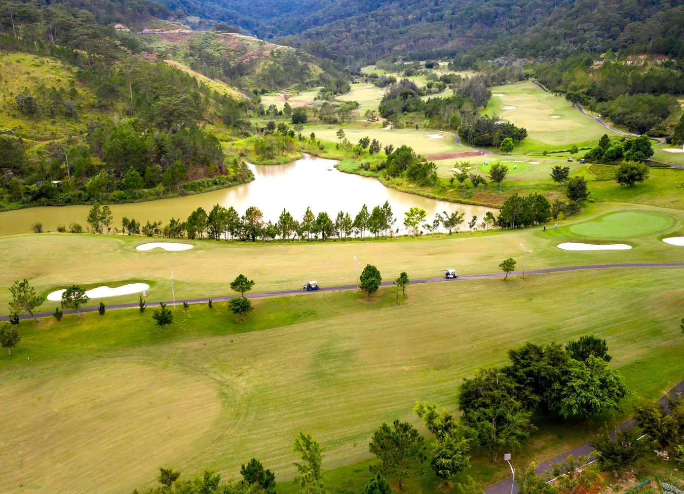
High-Resolution Orthomosiac Mapping
An orthomosaic map is a high-resolution aerial image created by combining hundreds or thousands of drone photographs into a single, accurate, georeferenced map. Unlike standard aerial photos, orthomosaic maps provide precise measurements and detailed visual information that can be used for planning, management, and documentation.

Advanced Aerial Mapping.
- See Your Entire Property in Detail
Gain a complete bird's-eye view of your land with exceptional clarity, making it easy to identify features, improvements, access roads, waterways, fencing, and vegetation.
- Accurate Measurements
Measure distances, acreage, fence lines, roadways, stockpiles, and other property features directly from the map with survey-grade accuracy when appropriate ground control is used.
- Property Documentation
Create a permanent visual record of your property's condition for insurance purposes, land management, property transactions, or future comparison.
- Monitor Change Over Time
Track vegetation growth, erosion, drainage issues, construction progress, storm damage, and other changes through repeat mapping missions.
- Improve Land Management Decisions
Identify problem areas, plan improvements, evaluate grazing conditions, assess infrastructure, and make informed decisions based on current, accurate imagery.
- Support Agricultural Operations
Evaluate irrigation systems, monitor pasture conditions, inspect fencing, identify weed infestations, and improve overall property management efficiency.
- Reduce Time and Costs
Inspect large properties from the office rather than spending hours driving or walking the entire property.


Jaxen Creek Drone Services Can Help
At Jaxen Creek Drone Services, we provide professional drone-based orthomosaic mapping that delivers detailed, actionable information about your property. Our maps help landowners better understand their land, document current conditions, and make informed decisions with confidence.